
Search Wake Forest Street Directory
A street search works as a record trail, not as a roster. Begin with the exact situs address, meaning the physical location of the parcel, and identify whether it lies in Wake County or the smaller Franklin County part of incorporated Wake Forest. The Wake County route combines a parcel card, iMAPS, the Register of Deeds index, permit records, and historical directories. Each source has a defined record purpose. A property card identifies an assessed owner and a map key. A deed establishes a recorded transaction. A directory preserves a publisher's dated listing.
- Enter the number and street name in the Wake County Real Estate Property Search. Save the result selection, REID, PIN, situs field, mailing field, and deed book/page if shown.
- Open the parcel in Wake iMAPS. Confirm the parcel polygon, nearby parcels, street form, and jurisdiction before treating a Wake Forest mailing address as a Wake County record.
- Use the owner name, grantor, grantee, book/page, and date in the Wake Register of Deeds index. Read the deed image and legal description rather than matching a name alone.
- For an election question, use the name-first North Carolina voter lookup with the appropriate county. It can confirm a result, but it is not a street-wide roster.
- For an older listing, request the relevant Hill suburban or Raleigh cross-reference volume from Wake County Public Libraries. Record the edition, page, and printed abbreviation.
Keep the sources separate in your notes. An assessed owner, a recorded grantee, and a directory listing can describe different roles at the same address. That distinction prevents a street-directory result from becoming an unsupported claim about a current household.
Wake Forest Street Property Fields
The Wake property portal is the strongest first stop for an address in its county. Its Location Address mode uses Street Number and Street Name, and its instructions say to leave the street type out of the Street Name field. It also has Owner, Real Estate ID, and PIN modes. Owner searching identifies an assessed owner, not necessarily a person living at the address. If a result gives several partial matches, choose the parcel only after checking the number and street form.
| Wake property field | How it helps a street search |
|---|---|
| Last, first, middle, or business owner | Finds an assessed individual or entity when an address search is incomplete. |
| Street number and street name | Runs the address mode. The street-name entry omits the street type. |
| REID | Provides the Real Estate ID used to keep the parcel result distinct from similar addresses. |
| PIN map, scale, block, and lot | Supplies a parcel key for map browsing and deed-description checks. |
| iMaps link | Moves from the card to the county map and property-information view. |
The portal warns that its data can change and are not a survey. Treat its details as a path to the county source, then retain the lookup date. Tax help is available at Taxhelp@wake.gov or 919-856-5400 when the card itself does not resolve a parcel question.
Map Wake Forest Streets First
iMAPS can search by owner, address, place of interest, or intersection. Its map selection opens a property-information pane, making it useful when a street has a directional prefix, a new subdivision, or several closely named roads. The Town's GIS service serves a different purpose. Its public boundary layers cover Town Limits, Jurisdiction, Easements, and Town Owned Property, so it helps establish which municipal layer applies before an address is sent to a county office.
| iMAPS control | Street-directory use |
|---|---|
| Owner search | Finds the parcel route from an assessed-owner name. |
| Address search | Locates the street or situs address before parcel selection. |
| Place-of-interest search | Helps orient the search from a named landmark where it is indexed. |
| Intersection search | Offers a starting point where the address is uncertain. |
| Map selection and information pane | Shows the selected parcel and property details to cross-reference with an REID or PIN. |
See the Town's GIS services and mapping contacts before using the municipal map links.
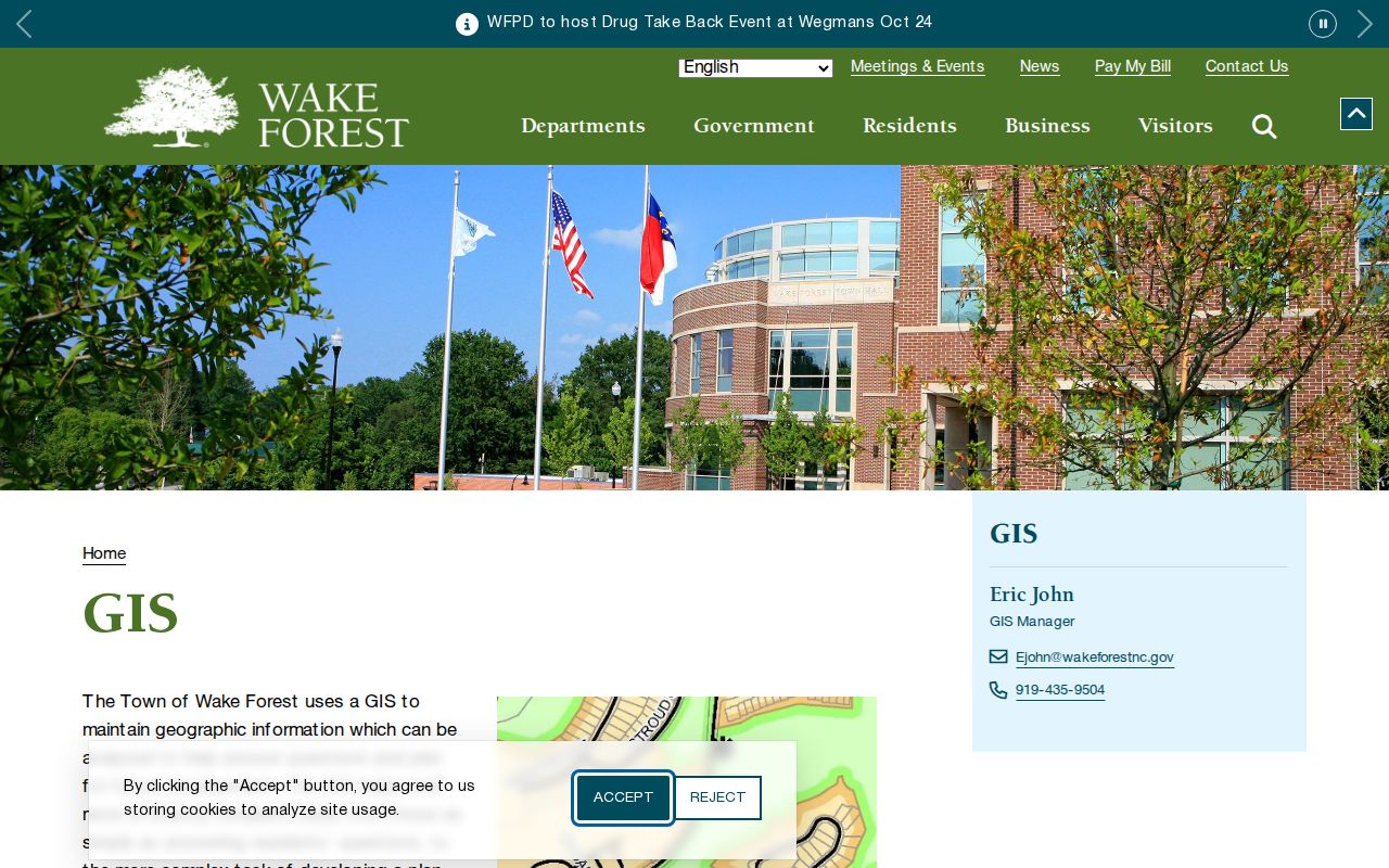
That Town GIS route is a jurisdiction tool. Use Wake County's property search and iMAPS for the owner and parcel details that support a Wake Forest street-directory search.
Note: A parcel map identifies geometry and jurisdiction, but it does not by itself prove title or a current occupant.
Wake Forest Address Record Coverage
Several Wake Forest sources can be searched by address or tied back to a parcel. Their age and meaning differ. The table separates what the source records from what a reader might hope it proves, so an old listing or permit is not mistaken for present-day residence evidence.
| Address source | Local reach | Street key | Important limit |
|---|---|---|---|
| Wake property card | Current county assessment data | Street number/name, REID, PIN, owner | Owner is not automatically the current occupant. |
| Wake iMAPS | Current property and map service | Address, owner, intersection, place of interest | The map is not a survey; verify the linked source. |
| Wake ROD index | Legacy notice covers July 1785 through April 17, 2025 | Grantor/grantee, date, document type, book/page | Confirm current image access and the new system route. |
| Wake permit search | Records before July 1, 2018 | Address, PIN, owner, applicant, permit number | The page was last refreshed July 13, 2018. |
| Town eSuite | Municipal public information | Service address, permit number, permit type | Public fields and later-application routing vary. |
| Directory collections | Hill suburban volumes from 1975 and selected Raleigh volumes | Street or reverse/cross-reference entry | A printed listing is dated and may not list every person. |
For older address work, the library shelf adds a printed record that the modern parcel system cannot supply. The Wake Forest city directories page is the fuller route for collection years and entry reading, while the street directory keeps the focus on the address chain.
Wake Forest Street Directory Terms
Record labels carry more weight than they first appear to. A Wake property-card sample for a North Main Street parcel separates an owner, mailing address, street address, REID, PIN, planning jurisdiction, and historical deed book/page. A tax mailing location can belong to an entity or another address. The deed's legal description identifies land, while a directory residence line records a publisher's listing. Preserve the original label when copying any field.
- Parcel
- A mapped piece of land identified in the property system by an REID or PIN.
- Situs address
- The physical service location of the parcel, distinct from the address used for tax mail.
- Plat
- A recorded map that can show a subdivision, lot arrangement, or street creation.
- Criss-cross directory
- An address-oriented directory feature that may lead from a street entry to a printed name listing.
That field discipline is especially useful when names differ across a deed, tax card, and directory. It avoids converting a mailing field into a claim about where someone lives.
Note: Keep the map key and book/page with the parcel result so later record searches remain reproducible.
Trace Wake Forest Street Deeds
The Register of Deeds index turns a street search into a land-history check. The legacy notice identifies recorded documents from July 1785 through April 17, 2025 and says a new Land Records application launched April 21, 2025. Because the accessible notice did not provide the replacement address, use the legacy link for the historical path and confirm the current application with the office before relying on a new online instruction.
Search by grantor or grantee, choose Standard or Sounds Like matching, and narrow by date or book/page. At least one of those search criteria is required. A name needs at least three characters. Carry the property card's book/page and PIN into the search, then compare the legal description in the recorded instrument. A grantor is generally the party conveying an interest, and a grantee receives it. Those roles are not a list of who occupied the site.
The document menu is also a local address-history clue. Beyond DEED and EASMT, it includes MAP, SUBN, GRAVE REMOVAL, HIGHWAY MAPS, and VARIANCE. A plat or easement may explain a changing street pattern, while a deed of trust or release is an encumbrance event rather than a transfer of ownership.
Check Wake Forest Street Permits
Permit records can date work at an address, such as construction, alteration, or subdivision activity. They do not establish who was living there. Wake County's historical permit search is expressly limited to records before July 1, 2018. It accepts Applicant Name, Permit Number, Owner, Address, or PIN. The source reports a July 13, 2018 refresh, so do not treat a missing newer result as proof that no later work occurred.
Use the Wake County historical permit search for the earlier county record.
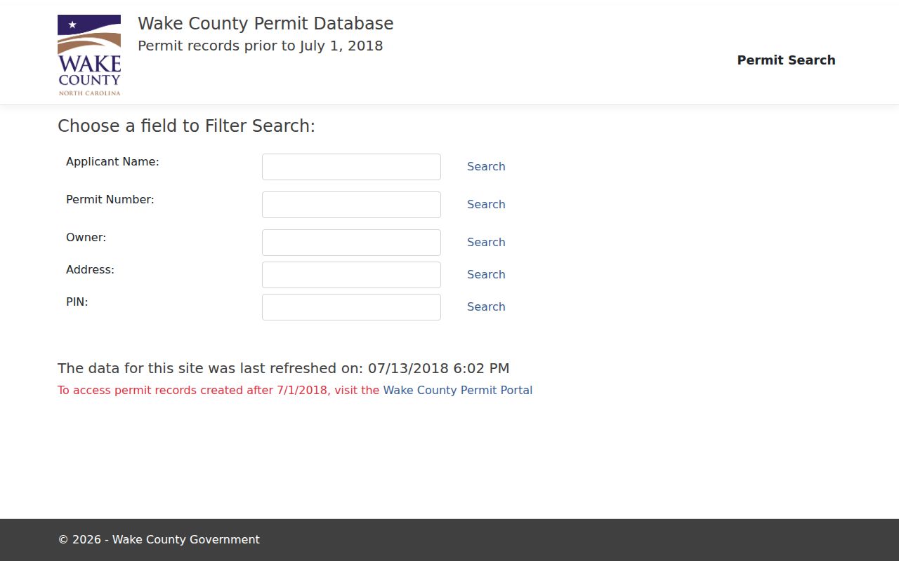
The image reflects the older portal's address and PIN path. Keep the permit number and date with the parcel notes, then request a named record if a fuller file is needed.
For municipal public information, the Town uses Wake Forest eSuite permits; later applications are directed through IDT Plans.
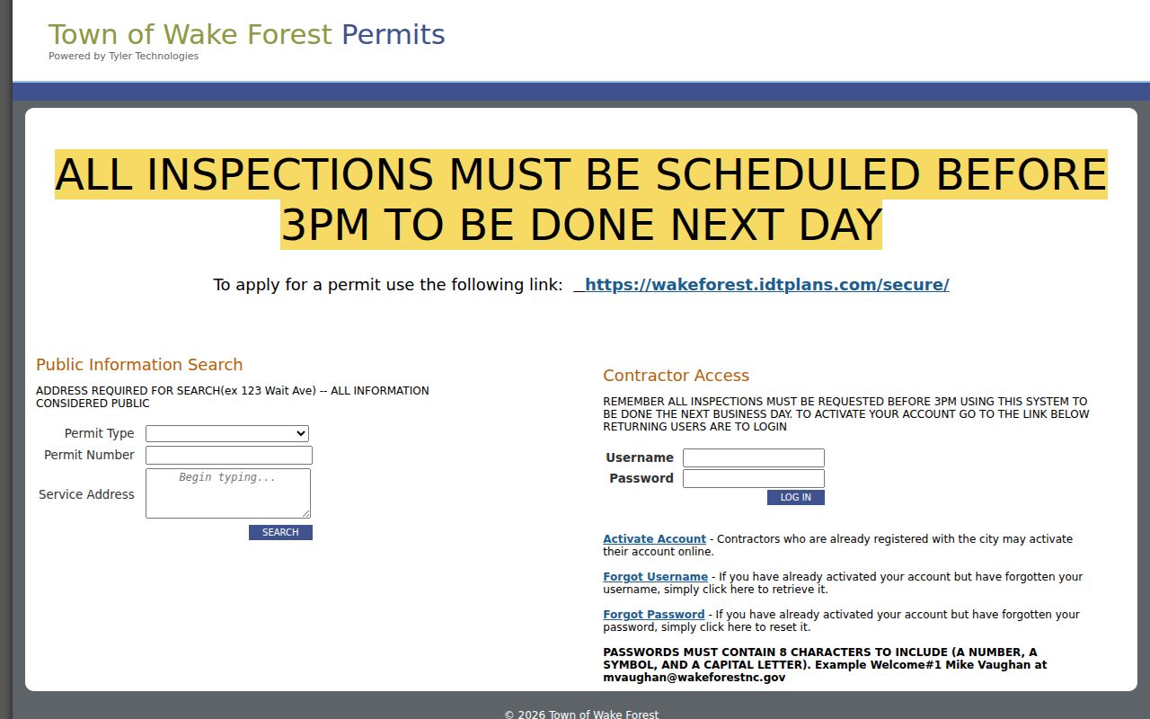
eSuite supplies a separate municipal search path. Its service-address, permit-number, and permit-type information belongs with the document trail, not with a claim about a household.
Route Wake Forest Street Records
Most incorporated Wake Forest is in Wake County, but a smaller portion is in Franklin County. A Wake Forest postal label does not choose the Register of Deeds, tax office, court clerk, or elections board. Confirm the parcel and municipal boundary first. An address in Wake County goes to the Wake Register of Deeds in Raleigh; land in the Franklin County portion follows the Franklin County route in Louisburg. State systems can cover both counties, but the county office still holds the land or local file.
The Town's jurisdiction, zoning, historic, and planning maps provide useful context for a boundary question.
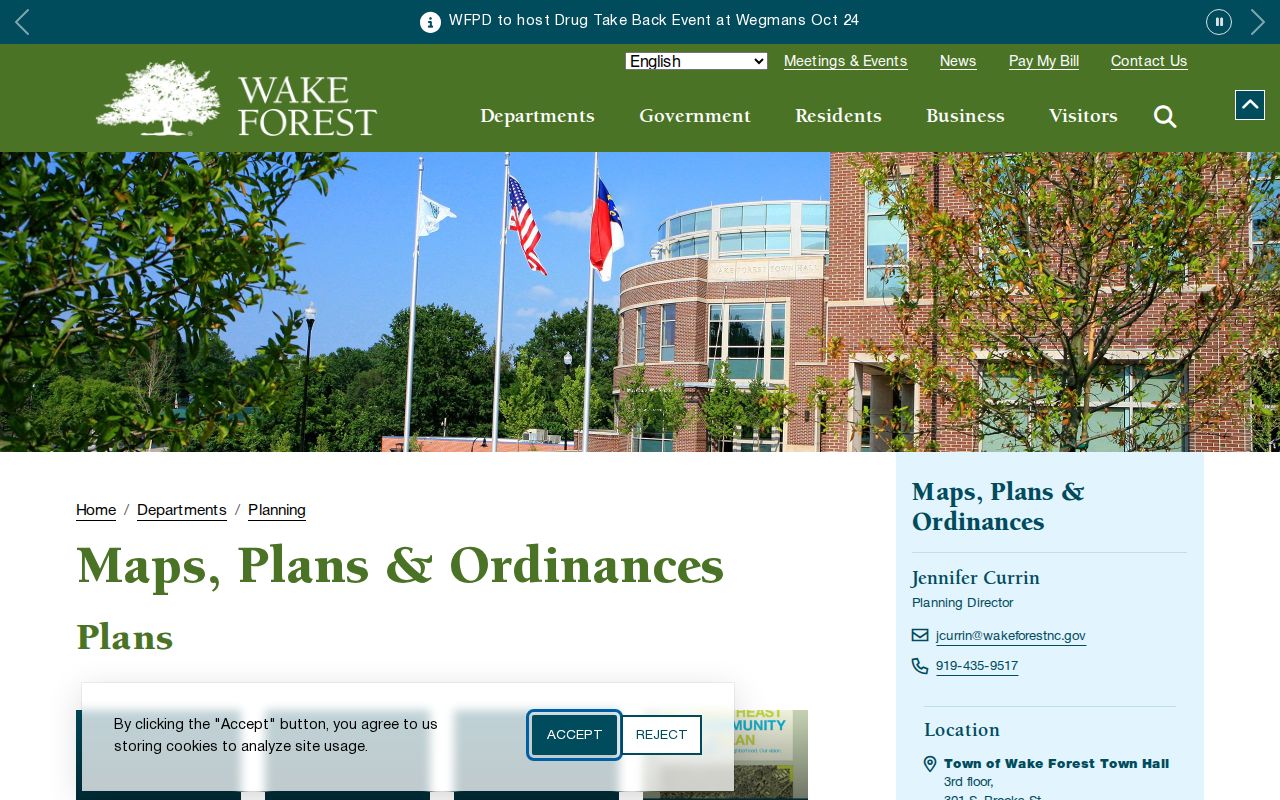
Town maps are dated snapshots in some cases. Confirm current limits through GIS before making a records request or treating an annexation-era map as current jurisdiction.
Note: A postal city and a town limit can differ, so save the county and map date with every street record.
Read Wake Forest Street History
Historic address work needs period place names. North Main Street was formerly Faculty Avenue, and records may use Wake Forest College, Town of Wake Forest College, Royall Mills, or Glen Royall. Royall Mills was a separate incorporated mill village from 1907 until its charter was repealed in 1945, then became part of Wake Forest through the 1977 annexation. Preserve the wording that appears in the old source instead of rewriting it as a modern address.
The Town's Cemetery GIS is another unusually detailed history layer, with Cremation, Graves, Plot, Row, and Section layers. Open the Town Cemetery GIS service only for respectful burial and local-history research.
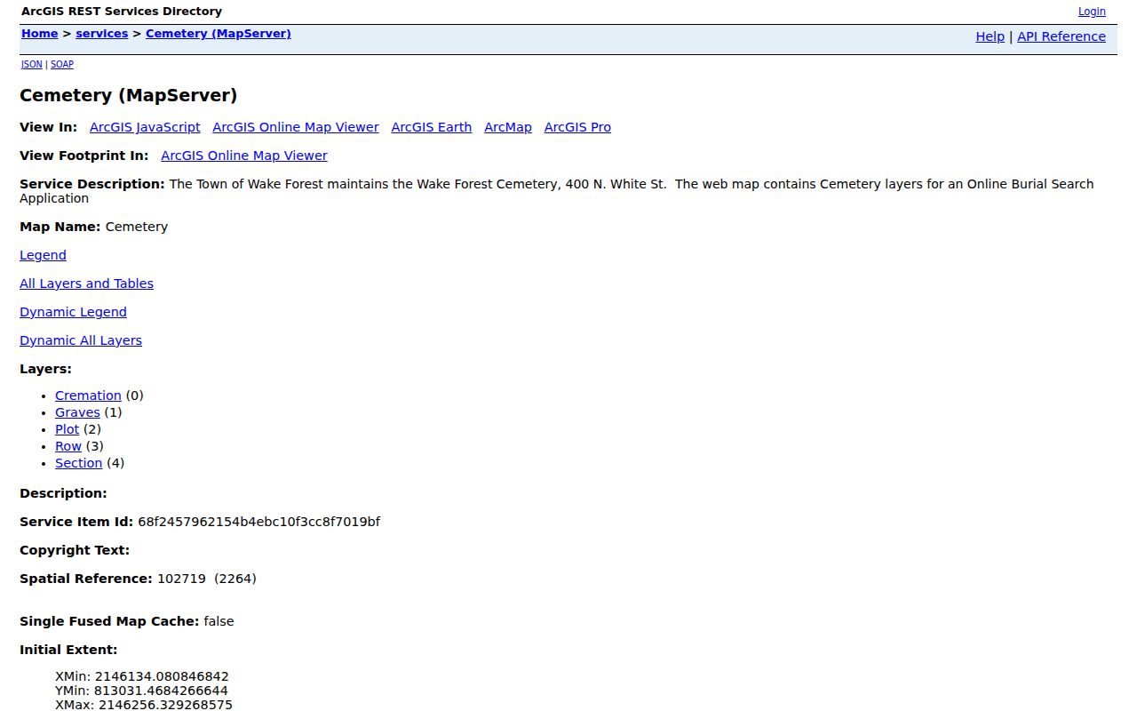
Those layers can establish a historical burial context, not a present contact list or evidence of a current address. For a past printed street listing, return to the cataloged Hill suburban and Raleigh directory materials.
Limit Wake Forest Street Results
A Wake Forest street directory cannot prove every person associated with an address. Property records identify assessed ownership. A deed records a land transaction. A permit records a project. A voter search is name-first and may be protected. A directory prints what its publisher recorded for a particular edition. Do not combine those partial records into an unverified household profile, and do not attempt to infer a protected address from related entries.
If an online result fails, try the REID or PIN, preserve directional prefixes, inspect a neighboring parcel, and use the deed's legal description. The Register of Deeds counter and phone desk, Town GIS or Planning contacts, a narrow Chapter 132 request for a named file, and Olivia Raney library staff are the documented fallback path.